NASA Gulf Oil Spill Data - Search Help
Airborne instruments study the 2010 Deepwater Horizon Gulf of Mexico oil spill. The NASA Gulf Oil Spill data search is an interactive map interface that allows you to easily search and download data, particularly from airborne instruments.Searching
To start, select a date range. Click the calendar buttons (to the right of the dates in the text boxes) to adjust the dates in the pop-up calendars.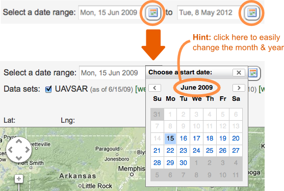
Once you change the date range, the search results will automatically be updated. There is no search button. You can also click the checkboxes to filter your search by data set. This will toggle the swaths in the map on and off.
Viewing Data
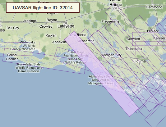
There are two ways to browse the data. You can click the swaths in the map, or find data in the tabs to the right of the map.When you mouse over a swath in the map, it will be highlighted and the swath's ID will be displayed in the top left corner of the map.
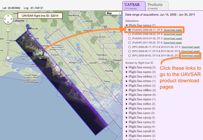
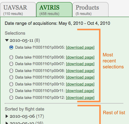
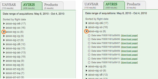
UAVSAR data is sorted by flight line ID, since the same lines can be acquired more than once. On the other hand, AVIRIS data is sorted by flight date.
When browsing the data in the tabs to the right of the map, click the arrows to expand/collapse the drop down lists.
While browsing the data, your most recent selections will be moved to the top of the list so that it is easier to see the history of what data you have browsed so far.